
The Indian Space Research Organisation (ISRO) successfully launched India’s first dedicated geo-imaging Earth observation satellite, EOS-05, on September 4, 2026.
Launch of India's first dedicated Geo-imaging Earth Observation Satellite:
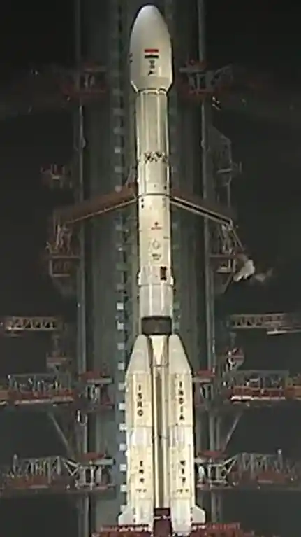
» The advanced Earth observation satellite EOS-05 was successfully launched using the Geosynchronous Satellite Launch Vehicle (GSLV-F17).
- GSLV-F17 was the 19th flight of India’s Geosynchronous Satellite Launch Vehicle (GSLV).
- It was launched from the Second Launch Pad (SLP) of the Satish Dhawan Space Centre in Sriharikota. This was the 107th launch from the spaceport in Sriharikota.
- The GSLV-F17 vehicle placed the 2,367-kilogram EOS-05 satellite into a Sub-Geosynchronous Transfer Orbit (Sub-GTO).
About India's first dedicated Geo-imaging Earth Observation Satellite:
» Earth Observation Satellite-05 (EOS-05), also known as GISAT-1A, is an Indian Earth observation satellite built by ISRO.
- The EOS-05 is India’s first imaging satellite designed to monitor the Earth from geosynchronous orbit, about 36,000 km above the Earth.
- The objective of EOS-05 is to gather detailed visual information about the Earth’s surface, and it is equipped with specialized high-performance cameras and sensors.
- Data obtained from such satellites can be utilized for various purposes, including crop monitoring, weather forecasting, safely assessing the impact of natural disasters like floods or forest fires, and keeping a watch on borders and areas of strategic security importance.
Difference from ISRO’s other imaging satellites:
Prior to this, India has launched several specialized imaging satellites, such as the IRS (Indian Remote Sensing) series and RISAT (Radar Imaging Satellite) for weather monitoring, and the CARSAT series for cartographic mapping of geography and terrain.
» While ISRO’s earlier imaging satellites operated in low-altitude orbits—such as the Sun-Synchronous Polar Orbit (SSPO)—EOS-05 will operate in the Geosynchronous Earth Orbit (GEO).
- A satellite operating in GEO reaches a specific location where it orbits at approximately the same speed as the Earth’s rotation. When viewed from the Earth’s surface, the satellite appears stationary at a fixed point.
- This means that—unlike other imaging satellites in low-altitude orbits, which capture multiple images of a location as they move along their path—EOS-05 will provide a continuous and near real-time view of the area.
» EOS-05 can track and identify changes. It can continuously monitor critical military infrastructure, ports, nuclear sites, bunker construction, vehicle movement or concentrations, roads, and more. For this reason, EOS-05 has been termed an ‘eye-in-the-sky’.
» Several other countries also operate GEO imaging satellites.
- China’s first Earth observation satellite, Gaofen-4, was launched on December 28, 2015.
- The United States operates several satellites in GEO under its National Oceanic and Atmospheric Administration (NOAA). In 2024, the US launched the final satellite of this series, GOES-19.